Sunday 21 August 2011

Bernese Oberland & Montreux 21-26 Aug 2011


After Zermatt (http://happyotrekker.blogspot.com/2011/08/matterhorn-hornli-trek-2082011.html), we set our “base camp” at Interlaken to explore Bernese Oberland for the next 4 days.

BO Day 1 (21.8.2011): From Zermatt, we trained for 2:15 hours to Interlaken with two changes at Visp and Spiez. After deposited our luggage at Hotel Lazy Falken, a five minutes walk from the station, we spent the rest of the day exploring the town.

BO Day 2 (22.8.2011): The next day, we trained to Lauterbrunnen and then to Kleine Scheidegg to visit the famous Jungfraujoch (Jungfrau Ridge), the world highest train station built inside the mountain. The excellent weather at Jungfraujoch provided a fantastic 360 degree view of snow field and mountains from the Spinx Observatory. Later in the afternoon, from Lauterbrunnen we bused to Trummelbach (Trummel waterfall) and trekked back along the wanderweg to view other waterfalls before returning to Interlaken by train. Trummelbach Fall is a series of ten glacier-waterfalls nestled deep in a slot canyon carved out by the powerful waterfall itself. The water plunges, slides, jumps, pirouettes, and corkscrews through the sculpted canyon and down to Lauterbrunnen Valley. It is accessible by tunnel-lift and is illuminated.

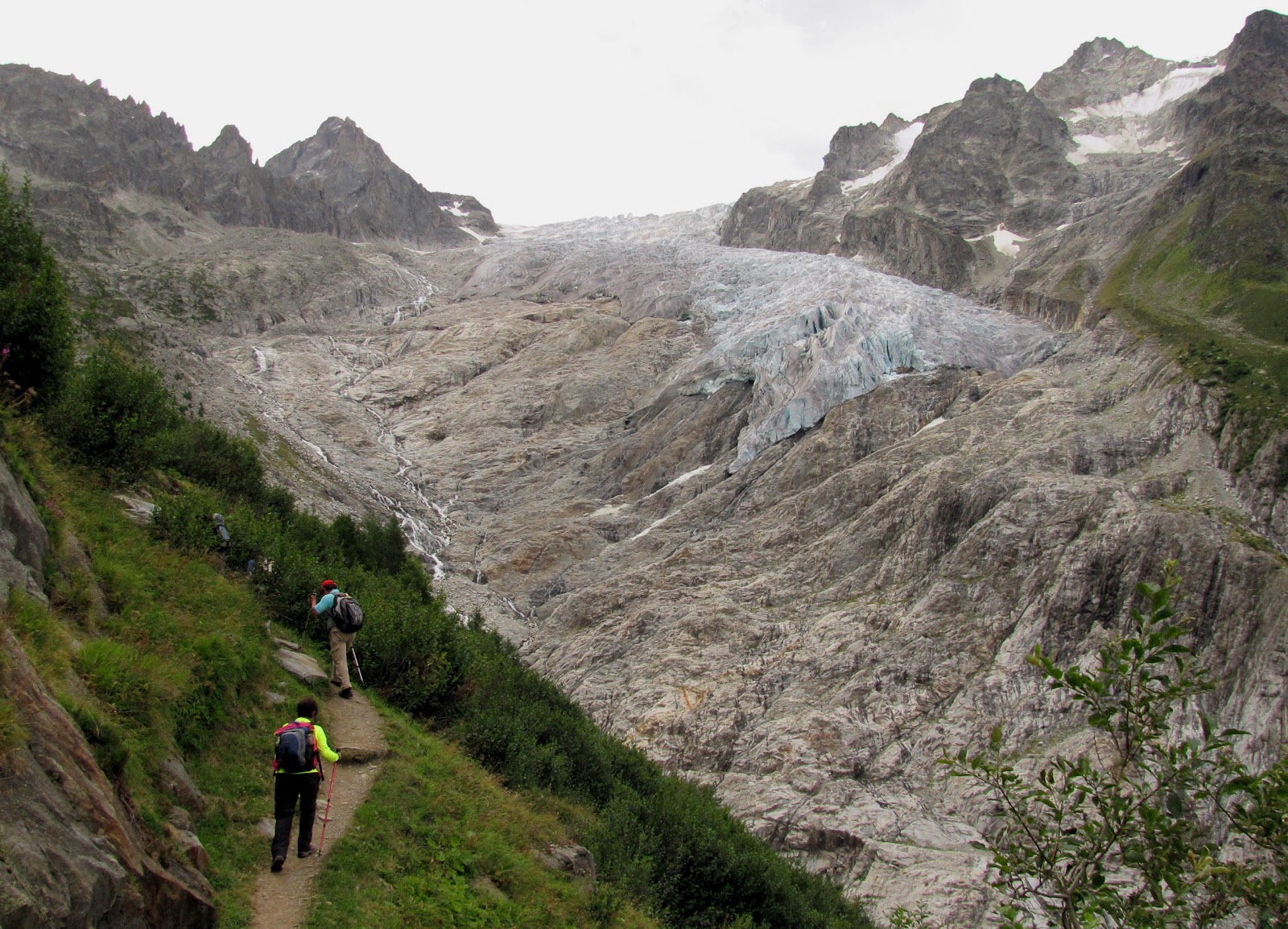
BO Day 3 (23.8.2011): On this day, we decided to go for a hike in Grindelwald (1034m), a famous mountain resort or playground for hikers and skiers. There were so many trails and we finally decided on Lake Bachalpsee (2265m). We took a train to Grindelwald followed by a cable car to First (2167m) where we started our hike to Lake Bachalpsee. The trail appeared to be quite popular for there was a big crowd at the Lake by the time we reached there at 12.15 p.m. The hike took us 45 minutes. As expected, trail was scenic with Eiger (3971m), Monch (4107m) and Jungfrau (4158m), all lined up in a row, and the Lake was picturesque against Wetterhorn (3692m) and Schreckhorn (4078m). Being energetic, we decided to trek all the way down to Grindelwald. The net drop of 1230m took us 3hours.

BO Day 4 (24.8.2011): After all the high mountains, we opted to explore Lake Brienz and Lake Thun by utilizing the free bus passes for hotel guests. We started the day by taking a bus to Ringgenberg Sage, the first village next to Interlaken at the north-bank of Lake Brienz and trekked along the bank of the lake to Interlaken OST. Lake Brienz is certainly very scenic with its turquoise blue water. The easy trek took us about 2hours. After lunch, we bused to Interlaken West to go to Spital and walked to Weissenau Nature Reserve, an important hibernation and molting site for numerous bird species along the lakeshore of Lake Thun. We spent about 1.5 hours trekking along the lake bank photographing water birds and admiring the rustic scenes.

The following day on 25.8.2011, we trained via scenic Zweisimmen to Montreux at Lake Geneva where we visited the famous Chateau Chillon and the vineyard terraces at Rivaz in the Lavaux UNESCO World Heritage region before returning to Malaysia on 26.8.2011.

For the photographs, please refer to http://happytrekker.shutterfly.com/pictures/11843.

Saturday 20 August 2011

Matterhorn Hornli Trek 20 Aug 2011


After the demanding 9 days Walker Haute Route Trek from Chamonix to Zermatt (see http://happyotrekker.blogspot.com/2011/09/walker-haute-route-part-c-17-to-1982011_861.html), our guide Sonia decided to change the itinerary of the last day, which included a hike up to Matterhorn Hornli Hut (MHH), to the chagrin of several members of the group.

Somehow, we felt that our Swiss Trek would be incomplete without the trek up MHH, the base camp for Matterhorn climbers. So on the morning of 20.8.2011, four of us informed Sonia of our decision to leave the group to accomplish the task of climbing to MHH ourselves. There are several ways to hike up to MHH. With only 1 full day available, the option of hiking from Zermatt to MHH (5-6 hours – 1 way) and returning the same day was out of question. So we decided to take a cable car from Zermatt (1620m asl) to Schwarzsee (2682m asl) and trek up from thereon to MHH (3260m asl) and return via the same way. This strategy would provide us more than adequate time to trek at a slower pace to soak up the mountain atmosphere and admire the surrounding vistas as well as to indulge in our photography hobby.

Starting at 9.30 a.m. from Schwarzsee, we took about 2 hrs 20 mins (against the suggested time of 2 hrs 10 mins) to hit MHH at 11.50 a.m. The trek was certainly remarkable with a constant view of the majestic Matterhorn ahead. The scree trail which zigzagged up to MHH was generally wide with adequate footholds and safety handhold chains/ropes along precipitous sections. Fortunately, there were no patches of leftover snow and ice which might render the trail slippery. At MHH, we had our lunch while admiring the surrounding beautiful mountains and watching (binoculars) the tiny figures climbing down the north-east face of Matterhorn. We also explored the trail beyond MHH up to the beginning of the climber proper marked by a series of fixed and various plaques. During this time, we saw many exhausted Matterhorn summiteers (equipped with ropes, karabiners, crampons etc) descending to MHH with a contented sense of accomplishment. Apparently, the summiteers started their ascent at 3.30 a.m.

We left MHH at 1 p.m. On route to Schwarzsee we spent about 30 minutes drawing our footprints i.e. Happy Trekker and Malaysia on flat scree plain. At 4 p.m. we took the cable car from Schwarzsee back to Zermatt.

We were happy to have made the right decision to do this wonderful MHH trek.

For the photographs, please see http://happytrekker.shutterfly.com/pictures/11702.

Next we went to Bernese Oberland (http://happyotrekker.blogspot.com/2011/09/bernese-oberland-montreux-21-to-2682011_12.html) for more trekking and sight-seeing.

Wednesday 17 August 2011

Walker's Haute Route (Pt C) 17-19 Aug 2011


...continued from Part B: 14 to 16.8.2011 (Please refer to http://happyotrekker.blogspot.com/2011/09/walker-haute-route-part-b-14-to-1682011.html).

WHR Day 7: Hôtel des Alpes, Arolla Les Haudères to Au Gite de Saint Jean, Grimentz (Up900m and Down670m)
After breakfast, we ride by van to Le Cotter (2013m) to begin our hike. We ascended up beautiful meadows and pastures, over the Col de Torrent (2919m) and down to the turquoise Lake Moiry (2250m). Mountains sighted along the way included Dents de Veisivi (3418m), Pigne d’Arolla (3476m) and Dent Blanche (4357m). Eight of us decided to explore the Moiry Dam and to follow up with a short bus ride to Grimentz while the energetic seven opted to trek from the dam through the forest and small gorge instead. The ancient village of Grimentz is most picturesque and historic village in the Alps. Trekking time was about 6 hours.

WHR Day 8: Au Gite de Saint Jean, Grimentz to Hotel Schwarzhorn, Gruben Meiden (Up760m Down960m)
In the morning, we were transported by minibus to an elevation of 2030m at Saint Luc to begin our hike along the Planet trail which passes by Francois-Xavier-Bagnoud Observatory. After the Saturn monument, we left the dirt road and took the trail which winded gently upwards through alpine pasture before a steep climb to Meidpass (2790m) and into the German speaking region. From Meidpass, the trail zigzaged steeply before leveling off near Lake Meidsee where we had a fantastic mountain view of Bishorn (4153m) and Weisshorn (4506m) despite the cloudy sky. Soon after, it was steep downhill descent and a passing through a lovely larch forest before reaching Hotel Schwarzhorn, Gruben (1825m). Along the way, we had the chance to pass by grazing Wallis Blacknose sheep (In German: Walliser sheep). Total trekking hours totaled 7 hours.

WHR Day 9: Hotel Schwarzee Horn to Hotel Tannenhof (Up1070m and Down900m)
Before sunrise, we were up to begin our uphill hike through larch forests, alpine meadows and rocky terrain to Augsbordpass (2894m), our final mountain pass. After enjoying the fabulous views at the top it was a long downhill and traverse through rocky terrain before we finally reached Jungu Cable station (1988m). Ten of us rode the cable cars below to St. Niklaus (1120m) while three energetic members trekked all the way down. From St Nicklaus, we were transported to Zermatt (1620m) and saw the iconic Matterhorn (4478m) standing like a sentinel watching over the car- free town, with the exception of electric taxis and buses. The trek to the Jungu station took about 7 hours.

Image Hosting by PictureTrail.com

Trekking mates: Choong Lai Cheng, Catherine Mak, Christina Goh, Chin Mee Poon, Lee Beng Eng, Dr Ng Ban Che, Law Chin Teong, Barbara, Christine, Monic, Jorge Costa, Armando Sobral, Manuel Pires and Sonia Tissieres (Guide).

For the photographs, please refer to http://happytrekker.shutterfly.com/pictures/11542.

The next day four of us went for the Matterhorn Hornli Trek (http://happyotrekker.blogspot.com/2011/08/matterhorn-hornli-trek-2082011.html).

Sunday 14 August 2011

Walker's Haute Route (Pt B) 14-16 Aug 2011


...continued from Part A - 11 to 13.8.11 (Please refer to http://happyotrekker.blogspot.com/2011/09/walker-haute-route-part-11-to-130811_750.html).

WHR Day 4: Cabane de Mille to Cabane de Louvie (Down970m and Up700m)
The trip from Cabane de Mille to Cabane de Louvie involved 3 parts - an initial long but easy descent through farm trail as well as dirt road to Le Chable (1500m), followed by a 30 minutes transfer to Fionnay (1490m) where we embarked on a challenging steep ascent over rocky terrain reinforced with iron chains in several dangerous sections of the trail to Cabane de Louvie (2207m). The weather that day was not very welcoming with little sunshine. Hence, we moved fast and managed to complete the downhill trek and uphill trek in 5 hours, excluding lunch break and bus transfer. The trek provided breathtaking view of Grand Combin (4314m) and Lake Louvie as well as amazing sights of chamois and ibexes in their rocky crags and overhangs habitat.

WHR Day 5: Cabane de Louvie to Cabane de Prafleurie (Up760m and Down300m)
We left the Cabane in the midst of poor weather condition. Less than 20 minutes, we sought cover at a stone storm shelter, a remarkable stone arrangement without any pillar support. By the time we scrambled up to Col de Louvie (2921m), mist had almost clouded out the surrounding view. From here, we had to navigate downhill through boulder field to the Grand Desert Lake. Together with glaciers and running icy rivers, the whole place came on serenely wild and raw. The weather changed for the better when we started climbing uphill to Col de Prafleuri (2965m) before descending to a wide quarry to proceed to Cabane de Prafleuri (2662m). The journey took us 8.5 hours. This time, we had an amazing close view of ibexes.

WHR Day 6: Cabane de Prafleurie to Hôtel des Alpes, Arolla Les Haudères
(Up260m and Down750m)
The day began at 7.00 a.m. with a short climb to Col de Roux (2814m) and a steep descent to Lake Dix. The walk along the lake shore was flat and easy. Despite walking at a fast pace, we took about 1 hour to reach the opposite end of the Lake. From thereon, we mounted on an arduous steep rocky climb to Col de Riedmatten (2919m) where we had the wonderful opportunity to have our first glimpse of Matterhorn peeping above a mountain range against the blue sky. Then, it was a steep descent to Arolla (4.40 p.m), a charming village located 2000m above sea level followed by a bus ride to Hotel des Alpes, Arolla Les Hauderes. The journey took about 10 hours.

For the photographs, please refer to http://happytrekker.shutterfly.com/pictures/11397.

For Part C: 17 to 19.8.11, please refer to http://happyotrekker.blogspot.com/2011/09/walker-haute-route-part-c-17-to-1982011_861.html.

Thursday 11 August 2011

Walker's Haute Route (Pt A) 11-13 Aug 2011


After 2 days of shopping and sightseeing at Chamonix (http://happyotrekker.blogspot.com/2011/08/france-chamonix-8-to1082011.html), the day arrived for us to embark on our quest to trek from Chamonix in France to Zermatt in Switzerland in 10 days. The 180km route famously dubbed as the Walkers' Haute Route is reported as a spectacular & demanding trek traversing below the summits of 10 out of the 12 of the highest peaks in the Alps, and crossing several high passes. It is supposed to be a trek of contrasts between flowers covered meadow and glaciers as well as snow-capped peaks. The route meanders through French and Swiss Alps: two distinct cultural regions with different languages and architecture.
Our team comprising 8 Malaysians, 2 French, 3 Portuguese and a Swiss signed up the 10-day package costing €899 per person with Cairn Bureau de Guides based in Les Carroz, Haute Savoie, Mont Blanc, France. The package included guiding, food and lodging. An English speaking Swiss guide named Sonia was allocated to our team by Cairn.
There are many routes one can take from Chamonix to Zermatt. Few routes are weather dependent. The following are 3 pictorial albums with short notes on the route taken by our group.

Part A: 11.08.11 to 13.08.11

WHR Day 1: Chamonix to Trient (Up750m and Down 930m)
Moderate uphill trek over flower covered pasture from Chalet du Tour (1453m) @ Le Tour to Col de Balme (2204m) with a net gain in elevation of 750m. This pass marks the border between France and Switzerland. Thereafter, it was an easy trek through a zig-zag trail down into Swiss territory, to Relais du Mont Blanc @ Trient (1279m) with a net loss in elevation of 900m. The trek took about 6.5 hours including idle time. The trek offered a great view of Mont Blanc (4808m) and glaciers.

WHR Day 2: Trient to Champex (Up1390m and Down1030m)
Given the good weather, we opted for a more scenic trail, involving a strenuous climb of 1400m to the Col of Fenetre d’Arpette (2665m) and a steep descent of 1000m down to Relais d’Arpette @ Champex (1630m). The trek covering substantial rocky and steep terrain took us about 10.5 hours. The trek was worthwhile in return for a fantastic view of the beautiful Glacier du Trient.

WHR Day 3: Champex to Cabane de Mille (Up840m)
From Champex, we bused to Hotel Bivouac Napoleon @ Bourg-Saint-Pierre (1630m) where we started our hike to Cabane de Mille (2473m). The trail winded through lovely alpine habitat for cows, sheep and horses. At Le Couer (2233m), we were briefed on the traditional style of cheese making. Throughout the trek, we had unhindered panoramic view of the whole Mont Blanc range. This super long trail which netted us only an elevation gain of 840m took us 7 hours. It was a respite from the demanding trek, the day before.

For the photographs, please refer to: http://happytrekker.shutterfly.com/pictures/11188.

For Part B: 14.08.11 to 16.08.11, please refer to http://happyotrekker.blogspot.com/2011/09/walker-haute-route-part-b-14-to-1682011.html.

Monday 8 August 2011

France Chamonix 8 -10 Aug 2011


Four of us took the opportunity to fly in early on 8.8.2011 to acclimatize ourselves at Chamonix before the commencement of the Walker Haute Route Trek starting on 11.8.2011. On arrival at Geneva Airport, Alpy bus was already waiting to ferry us to Chalet du Tour at Le Tour, the starting point for our 10-day trek to Zermatt. We found Chalet du Tour to be neat and clean. As guests of the chalet, each of us was given a pass for free train and bus rides between this small village to Chamonix.

Over the next two days, we did walkabouts at Chamonix and nearby village Argentiere. Chamonix is a shopping paradise for high quality outdoor gears and equipment. Needless to say, we spent substantial time browsing through the fantastic range of goods. The other major highlight of our stay was the magical aerial excursion called Trans Tour Mont Blanc – a trip using 5 cable cars and a gondola to ‘fly’ across 5 km of glaciers, icefalls, crevasses and mountain ranges from Chamonix in France to Courmayeur in Italy and to return via the 11.6km Mont Blanc tunnel. We had a fantastic unforgettable panoramic view of all the facets of Mont Blanc owing to the good weather.

Next is the Walker's Haute Route http://happyotrekker.blogspot.com/2011/09/walker-haute-route-part-11-to-130811_750.html.

For the photographs, please refer to http://happytrekker.shutterfly.com/pictures/11008.